スマートフォンの地図アプリや旅行サイトの施設検索など、私たちの生活の身近にある位置情報を活用したシステム。「近くの飲食店を探したい」「家からホテルまでのルートが知りたい」といった要望に応えるこれらの技術は、「GIS(地理情報システム)」と呼ばれるものの一つです。 GISとは、一体どのような可能性を秘めており、どのようにビジネスシーンを変えていくのでしょうか。 このたびGISの開発に長年携わり、UPWARDのプロダクト開発を牽引してきたカスタマーサクセス本部 イネーブルメント部 武山と、開発本部 加賀谷による開発者インタビューを実施。GISの持つ壮大な可能性と、UPWARDが目指すビジネスシーンでの貢献についてお伝えします。
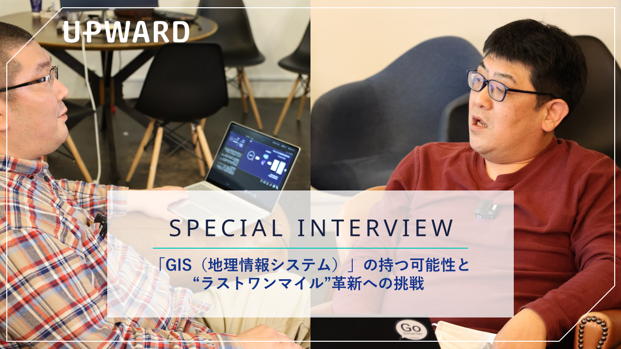
「GIS(地理情報システム)」の可能性と“ラストワンマイルの革新”への挑戦
オススメの資料
-

UPWARDで成果を出している企業の成功事例をご紹介
資料ダウンロードはこちら


目次

UPWARDのコア技術「Geographic Information System(地理情報システム)」の可能性
武山:私は1996年よりGIS開発に携わっており、UPWARDにおいてもその前身の時代から約12年間、技術の進化と共に歩んできました。今日はそんなGISについて、皆さんの身近なところでの活用シーンと今後の可能性についてお伝えしたいと思います。
GISとは、「Geographic Information System」を略したもので、日本語では地理情報システムと訳されています。
山や河川、道路やビルなど、地球上のありとあらゆるものをデジタル化し、可視化することで、分析や傾向の導き出しを可能にする。それが、このGISの役割です。1960年代に土地管理のためにカナダで開発されたシステムが、世界最初のGISと言われています。
日本では、1995年の阪神・淡路大震災の際、GISが活用されていればもう少し被害を抑えられたのではないかという反省から、本格的に整備されるようになりました。
今では災害対策などの自然環境はもちろんのこと、都市計画やマーケティングにおける顧客の動向分析など、幅広い分野で活用されています。
身近なところで具体的な活用例を挙げると、まずは防災ハザードマップですね。国土地理院制作のWebサイト「重ねるハザードマップ」では、各関係機関が出している洪水リスクや土砂災害リスクなどのデータを地図に重ねて確認することができます。
こちらはUPWARDの東京本社のあたりですが、河川が氾濫した際に、大体0.5メートルから3メートルくらい浸水することが分かります。皆さんもぜひ、ご自宅の場所にどんなリスクがあるのか、一度調べてみてください。

また、政府統計ポータルサイト内には、国勢調査などの統計データを地図に表示できる地図で見る統計(統計GIS) という地理情報システムもあります。国勢調査には様々な属性データがありますが、その中から必要なデータだけをピックアップして表示することもできるのです。
下記の図では、65歳以上の人口の分布を示しています。赤いところは65歳以上の人口割合が高いので、何かシニア層に対してターゲティングを行ないたいときに活用できます。こうして「どういうエリアに対象者が多いのか」ということを予め調べ、そのエリアに対してマーケティングを行なう際に有効です。

また、国土地理院の電子国土Web「地理院地図」には、細かな標高のデータもあります。私自身、GISに初めて携わった時に非常に感動を覚えたのが、こうした山の尾根などに合わせて行政界、いわゆる市区町村の境目が区分けされていると知ったときですね。

一説には、地図は言語よりも先に存在したコミュニケーションツールだと言われています。 GISは位置情報データさえあれば、あらゆるデータをあらゆる角度で表現することができます。複雑な情報を、本能的に理解しやすい形でアウトプットができる、非常に優れたシステムだと言えます。
高精度な位置情報技術を自社開発することで、よりハイレベルなUX / UIを実現
加賀谷: 私たちはGISを、創業時から自分たちで開発しています。現在は「UPWARD ENGINE」というシステムがフロントアプリの裏側で動いており、“ジオコーディング”という住所と緯度経度の変換やオープンデータといった第三者ソースから得た地理空間情報を高速で処理・提供できるまでに至りました。
UPWARD ENGINEの機能の一つ目であるジオコーディングは、入力された住所データを緯度経度に変換することを指します。下記の例ですと、UPWARD東京本社の住所を認識し、段々と絞り込んでいき、最終的に緯度経度を出すという処理を行なっています。

私たちはこうして作成した緯度経度を、SalesforceやMicrosoft Dynamics 365といった様々なCRMの情報と繋げることで、地理空間情報という価値に変換します。この処理によって、オンライン上、いわゆる“仮想空間”の中にある顧客の情報が、ジオコーディングを通じてオフラインの実世界に表現されることで、実際に顧客のいる“ラストワンマイル”へと繋ぐことができます。
そして、ジオコーディングによってCRMの情報に連携させた地理空間情報を、さらに他の情報と繋いでいきます。これが、UPWARD ENGINEの2つ目の機能です。将来的には国土地理院や各関係機関が出しているデータとの連携を可能にすることで、そこからターゲティングした属性情報をもとにアタックエリアを改善し、次の計画を立てていく…。UPWARD ENGINEがあることで、CRMの情報を最大限活用し、より確度の高い営業施策の策定をお手伝いできるかと考えています。

UPWARD ENGINEの開発のこだわりは、「柔軟かつ高速である」ということです。
まず一つの大きな特徴として、柔軟性を高めるために、デファクトスタンダード(業界で標準的に扱われている製造手法)とオープンソース(無償で一般公開されているソースコード)の活用を意識しています。開発チームの誰でもシステムが改善できるような仕様にすることで、日々変わりゆくビジネス市場のニーズに迅速に対応できます。また、人の手で入力される住所は結構曖昧だったりします。都道府県名や町名が抜けていたり、番地が途中までだったり…そうした部分もしっかりと受け止めて、可能な限り正確にプロットできるようにしています。
例)「北海道北23条西3丁目」 → 「北海道札幌市北区北23条西3丁目」へ変換
そして、高速で処理ができることも必須です。大手企業を中心にサービスを導入いただいているUPWARDでは、お客様の持っているデータ数も非常に大きくなってきています。これらを高速にジオコーディングできないと、UPWARDをお使いいただくための準備期間が長引いてしまい、プロダクトビジョンにある「6 UX Values」の「Time to Valueの最短化」が叶えられなくなってしまいます。
柔軟さを持ちつつ、高速で動くこと。こんなところを目標に、開発を進めています。

加賀谷:そして、私たちがGISを活用して顧客の成功にコミットするために最も重要な点は、システムを自社開発で持ち続ける、ということです。
例えばGoogleマップや他の地図サービスでもジオコーディングはできるのですが、コストや変換時間、仕様変更などがそのサービスに依存してしまうため、Time to Valueの最短化がハンドリングできません。また、そのサービスがなくなってしまうと、UPWARDというプロダクト自体が立ち行かなくなってしまいます。リスク回避のためにも自分たちで開発することにこだわっています。
もう一つの理由は、自社開発だからこそ、自社で得た地理空間情報を自由に扱うことができるという点です。別ソースにあるデータ同士が、技術的には地理空間情報をキーにすれば連携可能なはずが、基軸の地図サービス内の制約によって連携できない、ということも少なからずあります。こういった事態を防ぐこともできるのです。
UPWARDはやはり、一番に現場目線を大切にしているプロダクトです。お客様からのニーズをもとに自分たちの力でサービスを磨き上げ、良いものを提供し続けることが重要だと考えています。
スマートフォンの普及で、地理空間情報の可用性はビジネスの世界へ
武山:先ほど加賀谷さんからもありましたが、今、UPWARDではジオコーディングで得た地理空間情報を活用して、顧客情報を直近の訪問頻度や売上高などの属性で判断し、地図上にピンを立てて表現しています。
かつては個々人の位置情報を取るのがすごく大変だったので、地理空間情報をビジネスの分野で活用するのは現実的ではなかったのですが、今はスマートフォンから簡単に取れるようになったので、そのデータをプロダクトで利活用している状況です。
現開発段階では、まだGISの力を最大限まで引き出せているわけではないと思っています。今後より開発を進めることで、地理的な情報を使って「UPWARDのマップ上に各種統計データを重ね合わせることができる」など、より営業現場で使いやすく、扱いやすいものにしていきます。

加賀谷:あとは、今はまだ機能としてはないのですが、自動チェックインボタンをワンタップすると、その付近の施設情報を引っ張ってきて、担当者が何も入力せずとも顧客として自動で登録される。ハイブリッドワークを前提とすれば、営業担当者の最寄駅を起点にして、営業担当エリアを決めるなど。そういうこともUPWARDで自動化できるようになると思うので、どんどんお客様の営業活動の支援に活用していきたいなと考えています。
武山:個人の位置情報を簡単かつ正確に取得できるようになったことで、地理空間情報の可用性は本当に大きく拡がりましたね。私たちは今後も開発を続けながら、GISを活用した現場のラストワンマイルの革新に向けて挑戦を続けていければと考えています。
Made from Japanの技術で世界を目指す

金木: 創業時から「位置情報技術を活用して実世界と仮想空間を繋いでいく」というイメージをずっと持っていましたが、中々アプリケーションとしてうまく表現できずにいました。しかしスマートフォンの爆発的な普及やクラウドテクノロジーの革命的な進化が下支えとなり、少しずつ当初のイメージに近づきつつあると感じています。
位置情報をベースにデジタル空間と実世界がユーザーの負荷なくシームレスに繋がっていく。UPWARDはその入り口、ユーザーインタフェース(User Interface)になれると信じていますし、その世界の実現に向けて引き続きチャレンジしていきます。
ご不明な点はお気軽にお問い合わせください
TEL:03-6897-3683
※受付時間:10:00〜17:00(土日祝、年末年始を除く)